
Plenary Sessions
Home > Plenary Sessions
Opening Session, Sept. 7th, 3:00 pm
Beyond Open Source Software
Miguel Montesinos (Prodevelop)
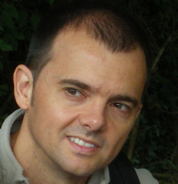 Miguel Montesinos has been working in the geospatial industry since 1993. He is a partner and CTO of the Spanish firm Prodevelop, specialized in FOSS4G, where he leads the geospatial team. Miguel leaded the company's redeploy towards open source at the beginning of the 2000's. He helped to the stablishment of OSGeo Spanish local chapter, and has been working the last years in the gvSIG project. Miguel is an advocate of open-source, being the president of Asolival (Valencian association of open-source software companies) and member of the board of the gvSIG Association.
How Crowdsourcing Changed Disaster Relief Forever
Schuyler Erle
 Schuyler Erle has been a Free Software developer and evangelist for over a dozen years. He was a co-author of 'Mapping Hacks' and 'Google Maps Hacks'. Schuyler is a co-founder of the OpenLayers and TileCache projects, and a charter member of the OSGeo Foundation. He currently resides in San Francisco, where he works for SimpleGeo.
The State of OSGeo
Arnulf Christl (OSGeo)
 For more than a decade Arnulf has been a troubleshooter from outer spatial. His entrepreneurial career started with his first geospatial business in 1998 up to his latest fledgling Metaspatial in 2010 that addresses the fact that meta and data are same-same but different. Arnulf helped to give birth to OSGeo in 2006 and has been an active Charter Member since. He is fond of openness and connectedness and favors do-ocracy over hierarchy. Which is why he is sometimes frowned upon for being friendly with the spatial standards incarnation OGC. Sometimes he appears to be bonkers for wanting to reconcile national data bunkers with OpenStreetMap but in the end the world is round and geographic data boundless.
Slides
Download the slides in PDF version
Sept. 8th, 9:00 am
Shades of Grey: Opportunities for Collaboration
Michael Gould (ESRI)
 Michael Gould is director of the global education program at ESRI. His team supports the academic community, including developers, to help make them personally successful and to provide societal benefit. Previously he was GIS professor in Spain for 15 years, during which time his research group participated in the gvSIG project. Over the years he has actively supported the OGC, INSPIRE, and various other international interoperability initiatives.
Progress in the implementation of the The Infrastructure for Spatial Information In Europe (INSPIRE)
Ioannis Kanellopoulos (JRC)
 Ioannis Kanellopoulos holds a position as a Scientific Officer at the Institute for Environment and Sustainability of the Joint Research Centre (JRC), European Commission, Ispra, Italy. His expertise concerns the research and development of advanced processing techniques for the analysis and interpretation of spatial data and has published over 40 papers related to spatial data infrastructures, remote sensing, image processing and neural computation. Ioannis is currently working on issues related to the establishment of European Spatial Data Infrastructures (INSPIRE), and in particular he is Project manager for the ENABLE Action at JRC dealing with the implementation of INSPIRE in the EU as well as the development of the INSPIRE geoportal, an entry point to finding and accessing geographic information in Europe.
Ioannis is also chairing the INSPIRE Initial Operating Capability Task Force which was set up to help and support the implementation of INSPIRE Network Services in the Member States and to
ensure interoperability with the INSPIRE geoportal and among Member States.
Ioannis Kanellopoulos holds a position as a Scientific Officer at the Institute for Environment and Sustainability of the Joint Research Centre (JRC), European Commission, Ispra, Italy. His expertise concerns the research and development of advanced processing techniques for the analysis and interpretation of spatial data and has published over 40 papers related to spatial data infrastructures, remote sensing, image processing and neural computation. Ioannis is currently working on issues related to the establishment of European Spatial Data Infrastructures (INSPIRE), and in particular he is Project manager for the ENABLE Action at JRC dealing with the implementation of INSPIRE in the EU as well as the development of the INSPIRE geoportal, an entry point to finding and accessing geographic information in Europe.
Ioannis is also chairing the INSPIRE Initial Operating Capability Task Force which was set up to help and support the implementation of INSPIRE Network Services in the Member States and to
ensure interoperability with the INSPIRE geoportal and among Member States.
Another Game of Chess, Professor Falken?
Iván Sánchez (OSM)
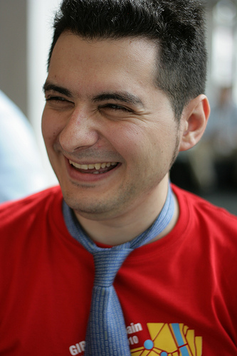 Iván is a vocational computer sciencist, and has been active in the OpenStreetMap project since 2006, entering data, developing software and, most of all, increasing awareness about the issue of map data licensing.
Open Source Approach to Geospatial Research and Education: Accomplishments and Challenges
Helena Mitasova
 Helena Mitasova is Associate Professor at the Department of Marine, Earth and Atmospheric Sciences, North Carolina State University (NCSU) in Raleigh, NC, USA. She has been active in the open source geospatial community as a member of the GRASS development team since 1991. She co-authored the first book on open source GRASS GIS, now in its third edition, and she published more than 50 papers on methods and applications of GRASS GIS for topographic analysis, modeling of landscape processes, coastal dynamics, and visualization. Helena has been elected OSGeo charter member in 2006 and serves in the education and conference committees. She has developed graduate courses based on FOSS4G software that are offered at NCSU as core of the Geospatial Information Science and Technology program. Her PhD is from the Slovak Technical University, Bratislava, Slovakia.
Closing Session, Sept. 9th, 5pm
The Tao of Information Sharing: Standards, Open Source and The Future Information Ecosystem
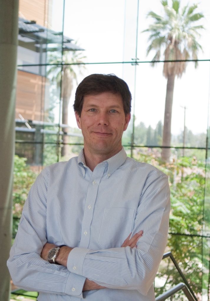
Raj Singh (OGC)
 Dr. Raj Singh serves as a Director of Interoperability Programs and the Compliance Testing Coordinator for OGC. He manages a variety of multi-vendor software prototyping projects based on cutting-edge information architectures. Recently, he has led efforts to make information exchange better in the building industry -- particularly at the early design stage for cost estimation and energy performance, and has shepherded OGC's mass market efforts to better align geospatial standards with the general IT industry. Raj has played a central role in the development of GeoRSS (georss.org), Geosynchronization, and conformance testing procedures for OGC's web services and encoding standards. Dr. Singh has a PhD in Planning Information Systems and a Master's in City Planning from MIT.
Slides
Download the slides in PDF version
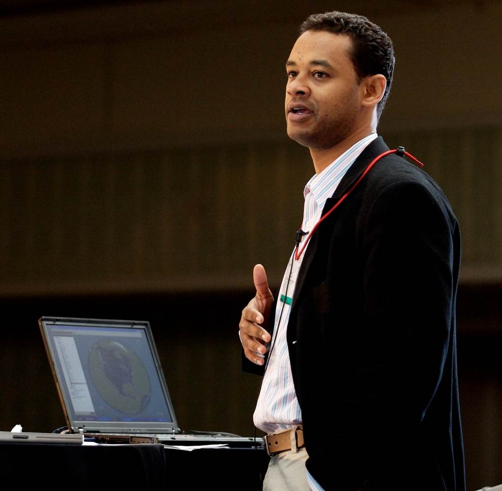
OSGeo: Open Source Projects and Communities
Tyler Mitchell (OSGeo)
 Tyler is the Executive Director of the Open Source Geospatial Foundation where he helps lead and run the day-to-day operations of the organisation. He is also the author of Web Mapping Illustrated - the first book of its kind focused on teaching a variety of popular Open Source Geospatial Toolkits. He has a dozen years of industrial mapping and GIS experience in natural resource management in western Canada. He is an avid proponent of OSGeo software solutions and enjoys working with people around the world to help extend OSGeo's reach.